Cumberland is rightly one of the most popular counties for rugged holidays, with its stately, forbidding fells and cool, glittering lakes.
It must be looked at in two parts, a highland area and a lowland, coastal area. The hills of Cumberland form a great part of the exquisite Lake District. Derwentwater, Buttermere and Crummockwater, Ennerdale Water, Wast Water, and part of Ullswater lie in Cumberland. Above them rise mountains, including England’s highest mountain, Scafell Pike (3,210 feet). Also within Cumberland are Scafell, Skiddaw, Great Gable and Pillar. This is prime walking country for hardy souls. Beyond the green Eden valley, the Penines cross the east of Cumberland, with Cross Pell, 2,930 feet, the highest.
In the north is Carlisle, a cathedral city, whose massive castle and fortifications against the Scots still dominate much of the town. In the rest of Cumberland fortified churches and “peel houses” are found, built as a defence not so much against the Scots as against reivers, who terrorised the border country before the Union.
Cumberland’s coast has industrial towns, though industry has faded, leaving urban deprivation a problem, particularly in Whitehaven which was once a major port for the Atlantic trade. The Sellafield nuclear power station at Seascale is a major employer.
County Facts
County Town: Carlisle
Main Towns: Alston, Brampton, Cockermouth, Carlisle, Keswick, Maryport, Penrith, Whitehaven, Wigton, Workington.
Main Rivers: Eden, Derwent, Esk, Duddon.
Highlights: Carlile Castle & Cathedral; Castellrigg & Long Meg and her Daughters stone circles; Hadrien’s Wall; Scafell Pike.
Highest Point: Scafell Pike, 3,210 feet.
Area: 1,516 square miles
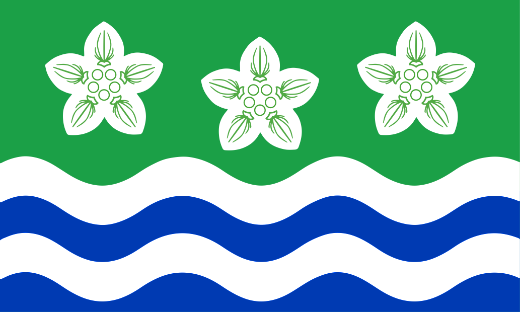
Flower: Grass-of-Parnassus
Day: 24th September (Baptism of John Peel)