
The Association of British Counties provides resources to enable the use of the historic counties and promotes them through projects and campaigns.
Our resources include:
- Gazetteer of British Place Names – a comprehensive listing of the historic county of the cities, towns and villages of Britain. An interactive web map can also be found on the Gazetteer, including county border data in GoogleEarth (KMZ) and Shape formats;
- Historic Counties Postal Directory – a directory of the historic counties indexed by post town. The directory can be used to integrate counties into address data and look-ups;
- A set of factsheets including An introduction to the historic counties.
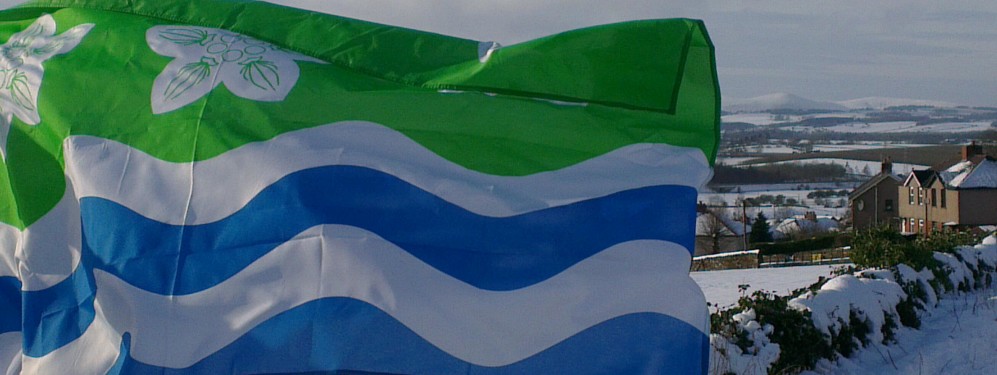
Our projects and campaigns include:
- Establishing county flags to promote and reaffirm a historic county’s identity. Over 50 county flags have now been registered and we hope in time that all the nation’s counties will raise one.
- Promoting the establishment and celebration of a “county day” for each of the historic counties.
- Working with local authorities, organisations and land owners to mark historic county borders and places of interest.
- Promoting the use of the historic counties as a basis for social, cultural and sporting purposes.
- Lobbying government for a change to local government terminology to make clear the distinction between the historic counties and local government units.
- Persuading the media, publishers, government, heritage and other organisations to use the geography of the historic counties for all suitable (i.e. non-administrative) purposes.
- Promoting the historic counties as tourist destinations and encouraging the tourism industry to do likewise.